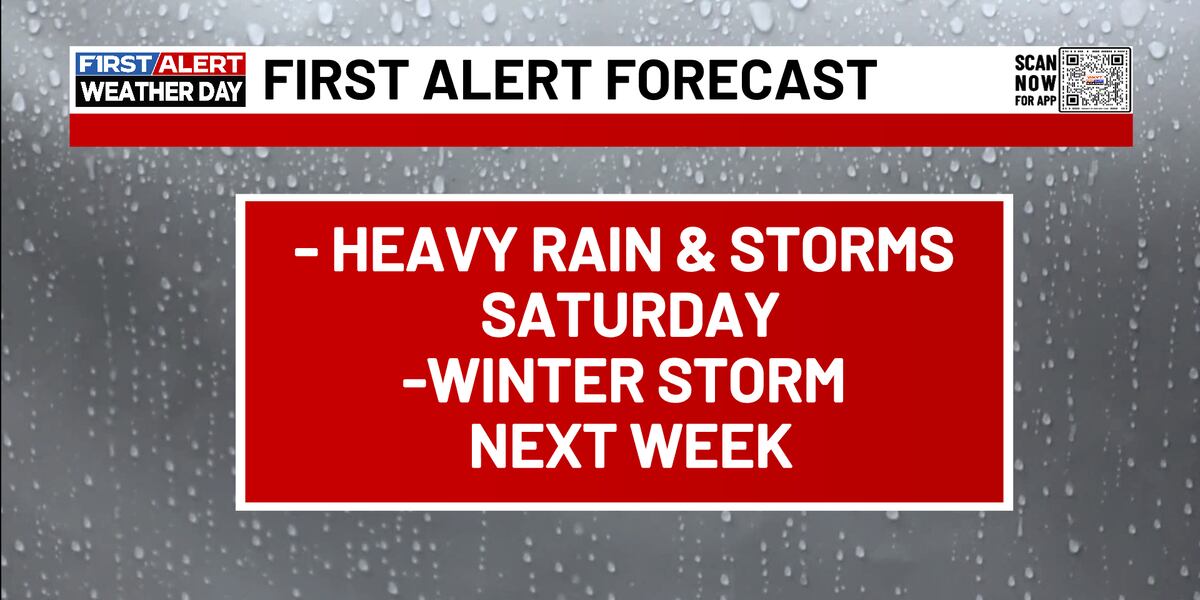
LEXINGTON, Ky. (WKYT) – It is a First Alert Weather Day today as we focus on flooding concerns and rain continues. A stormy overnight has carried into our daytime hours, with scattered showers persisting to the afternoon. Grab the umbrella as you head out the door – we will see a break in activity in the early afternoon but then around dinnertime one strong band of thunderstorms will roll across the region – with stronger winds and a little bit of potential for thunder. Things wrap up in the overnight. A chilly start in the low 40s will turn around to the 60s by the afternoon – but after the rain pushes by our temps will tumble into Sunday.
Sunday morning starts cloudy, calm, and cool – with temps below freezing. Skies stay mainly dry but as we trend towards parts of the afternoon there is a small chance for a few pop-up showers. Many will stay entirely dry for their Sunday. Temps peak in the low 40s.
Next week promises multiple rounds of of wintry storms – with heavy precipitation, snow and ice potential. The first round starts Monday evening and is leaning more towards wintry weather – but stick with WKYT as we continue to track the impacts of these storms throughout the week.
Stay dry out there today!
Copyright 2025 WKYT. All rights reserved.